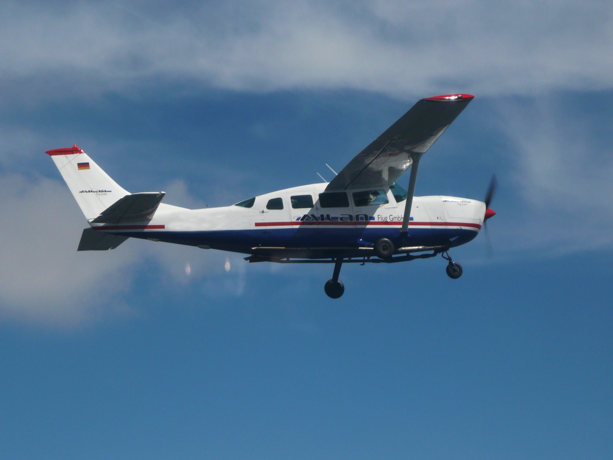
Measurement to air
Precise geodata from the air
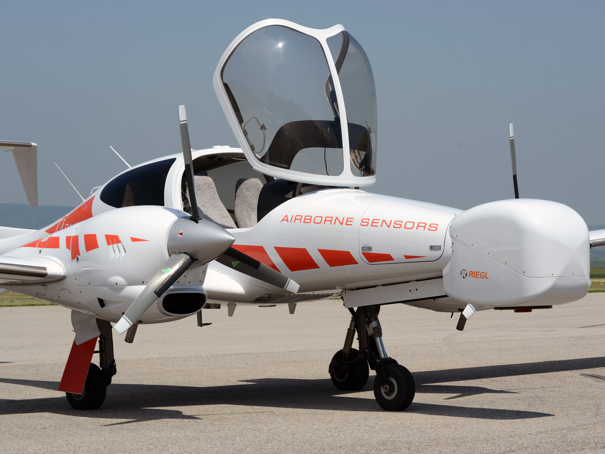
MILAN Geoservice GmbH offers airborne surveying with state-of-the-art sensor technology. Using airborne laser scans, hyperspectral and thermal cameras as well as high-resolution image systems, we capture precise geodata – efficiently, comprehensively and with a wide range of applications for the environment, planning and research.
Airborne laser scanning
Thanks to our many years of experience in airborne laser scanning (ALS), we can offer you precise, high-resolution geodata for a wide range of applications.
With state-of-the-art technology and a dedicated team, we guarantee customized solutions and highly accurate data for your projects in surveying, forestry, infrastructure planning and environmental analysis.
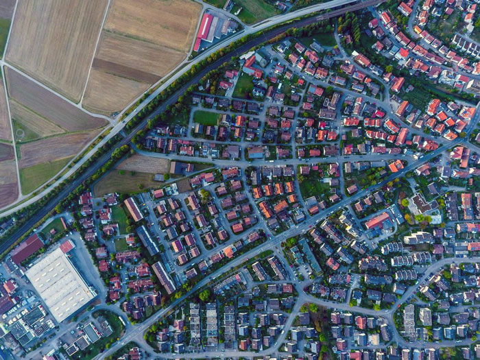
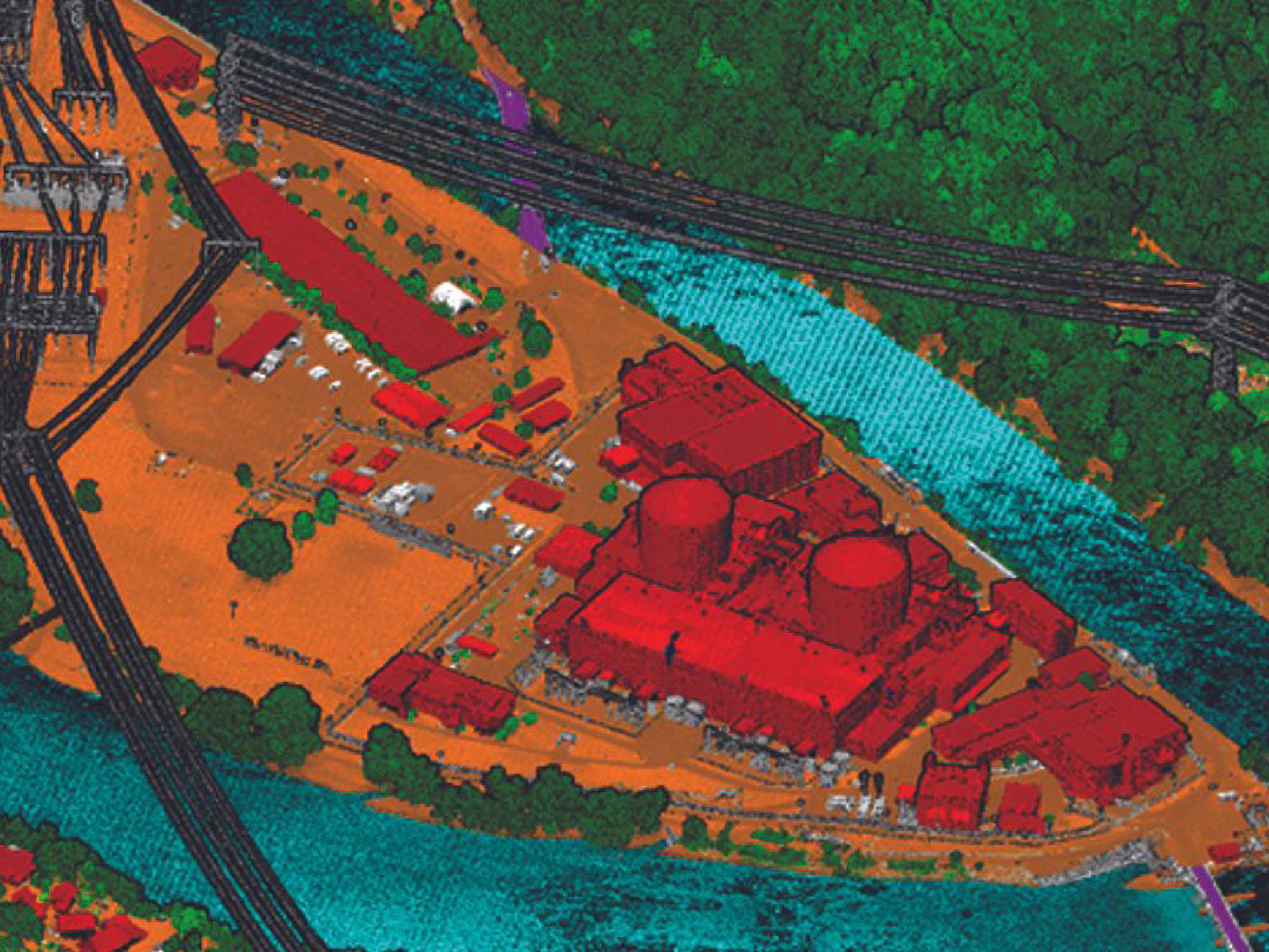
Photogrammetry
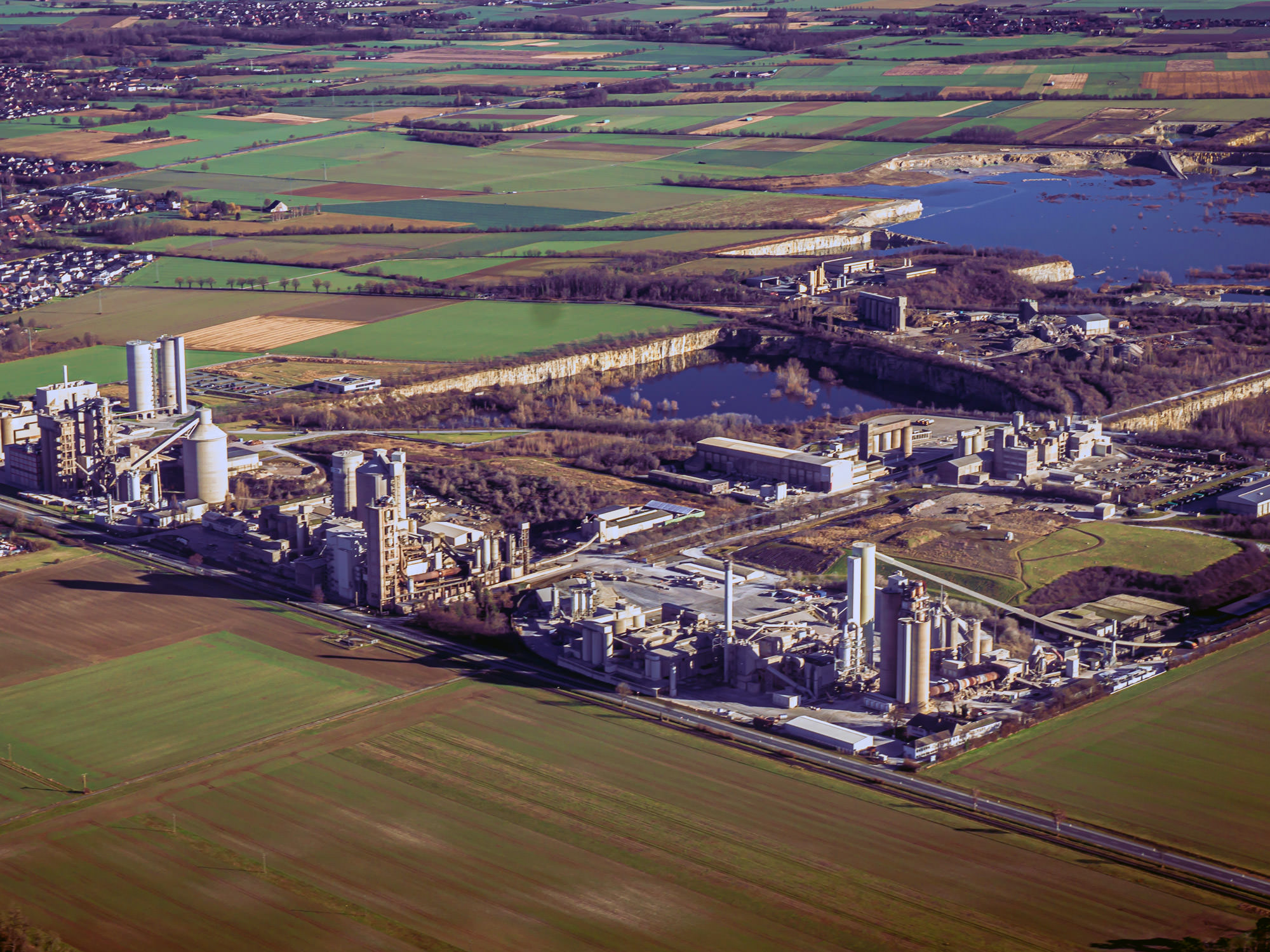
We carry out professional image flights and create high-quality orthophotos from the aerial images taken.
The focus here is on the precise geometric processing of the images in order to create distortion-free, true-to-scale images of the earth’s surface for your planning and analysis projects.
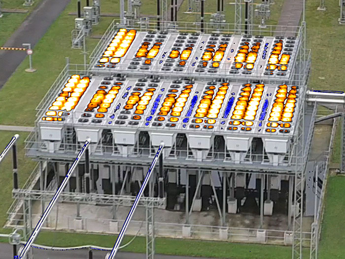
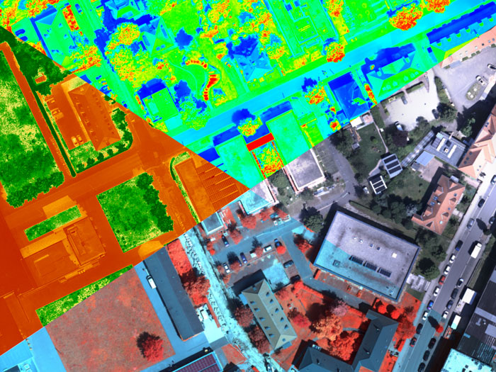
Thermography
We offer image flights with thermographic cameras to create high-resolution thermal images from the air for applications in building thermography, solar system inspection and environmental monitoring.
We specialize in carrying out thermographic image flights to inspect high-voltage lines. We detect thermal anomalies at an early stage to ensure the safety and efficiency of your systems.
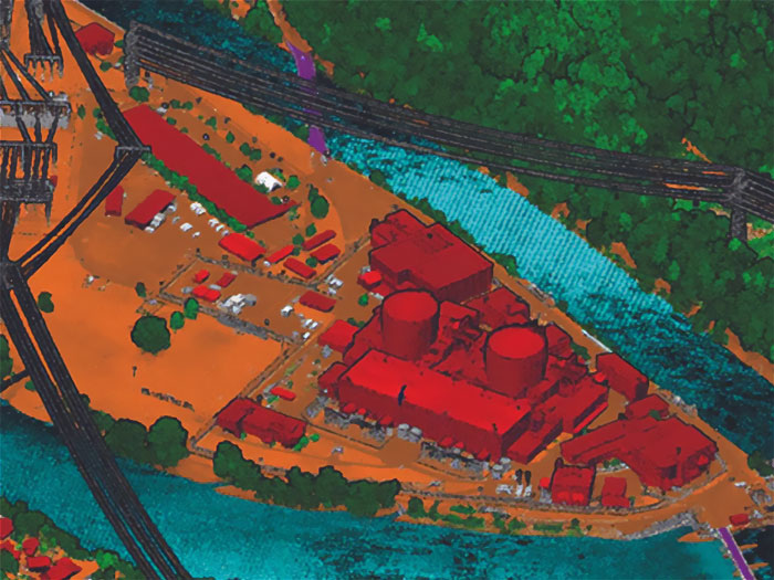
Bathymetry
We offer precise bathymetric surveys from the air using special LiDAR scanners.
This bathymetric sensor technology enables large areas to be recorded and the analysis of river bed data, which is suitable for hydraulic engineering and environmental studies.
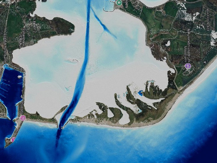
Hyperspectral
The hyperspectral aerial images enable the recording of a large number of different spectral bands with high geometric resolution and thus provide important data for geology, forestry, agriculture and water management.

Let’s talk.
…about your project idea, challenges or questions about geodata. We look forward to exchanging ideas with you!