Surveying on water
Measurements under the water surface – precise, scientific, versatile
Whether coastal waters, lakes or technical structures under water – we open up hidden worlds with modern depth sounding and scientific diving. Our work combines traditional surveying with innovative underwater photogrammetry. This results in precise 3D models and reliable data bases for research, environmental monitoring and hydraulic engineering projects – even where other methods reach their limits.
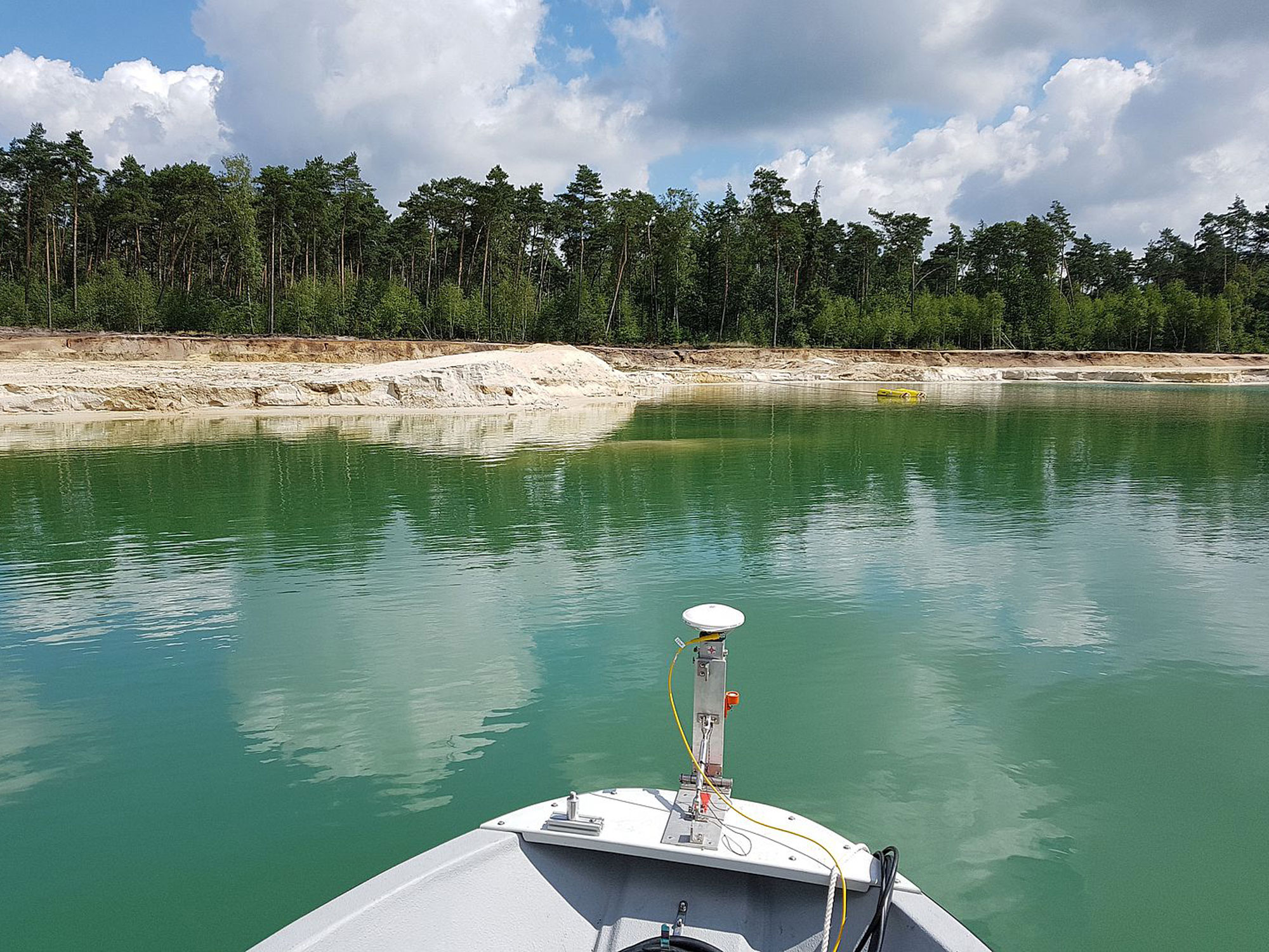
Depth sounding
Depth sounding is a key method for recording water depths and soil structures below the surface.
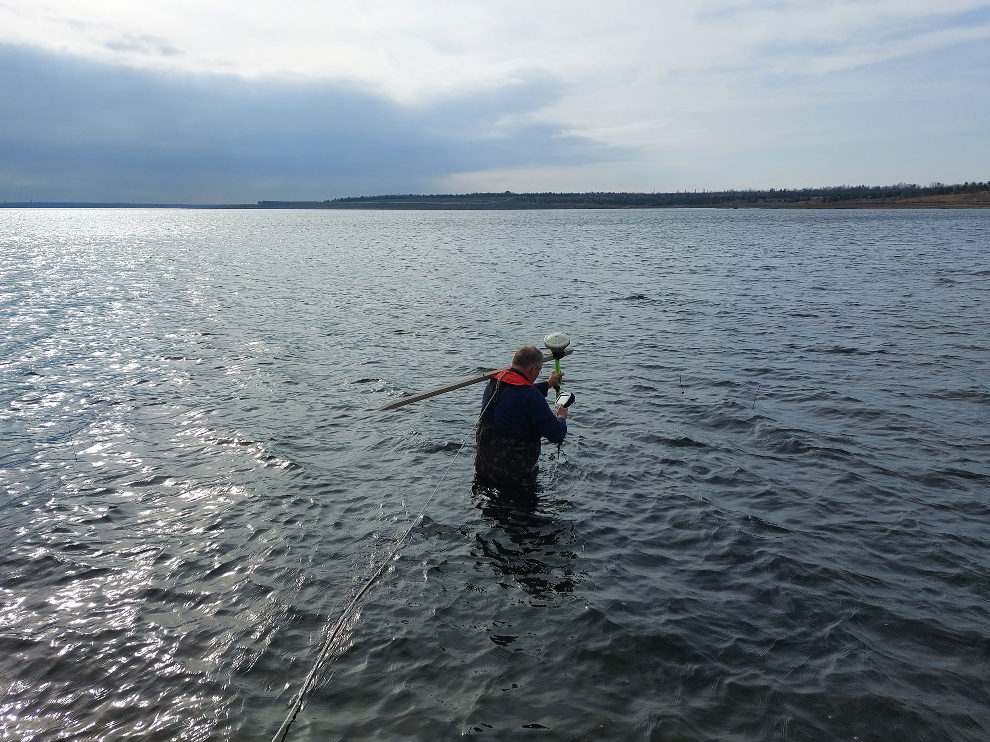
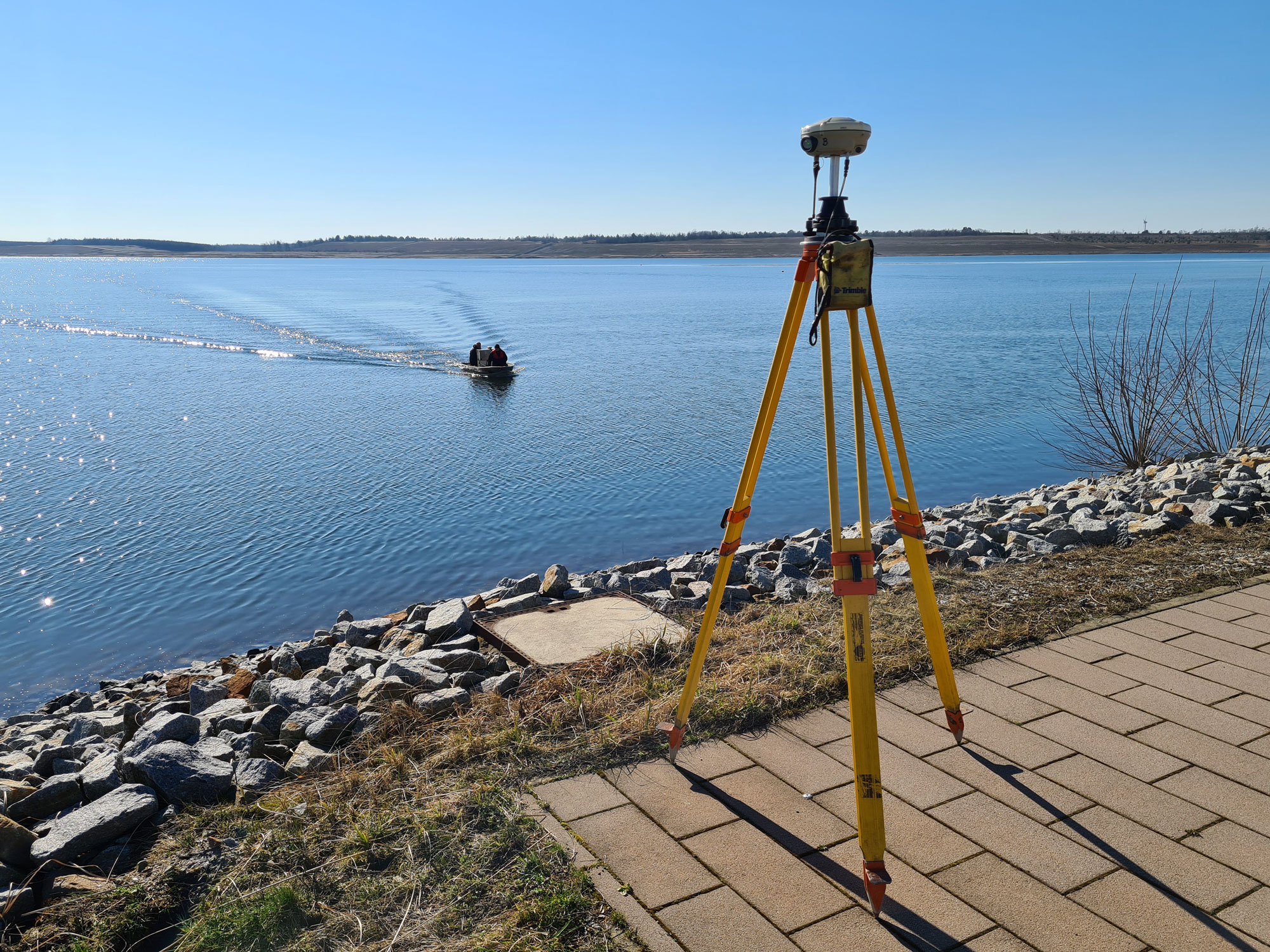
We use modern echo sounder and GNSS-supported systems to survey rivers, lakes and coastal areas efficiently and with high precision. The data obtained in this way provide important foundations for hydraulic engineering measures, sediment analyses, renaturation projects or the planning of technical systems.
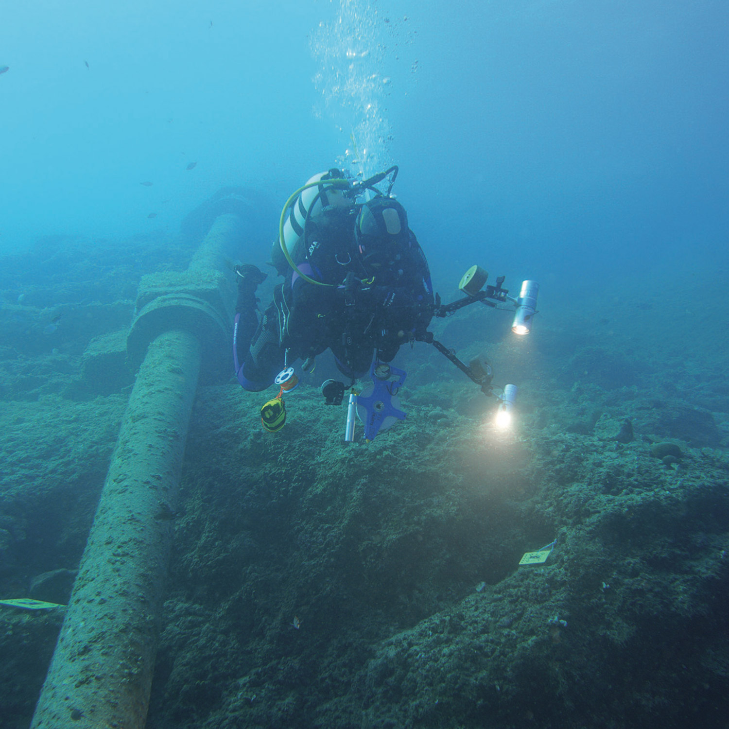
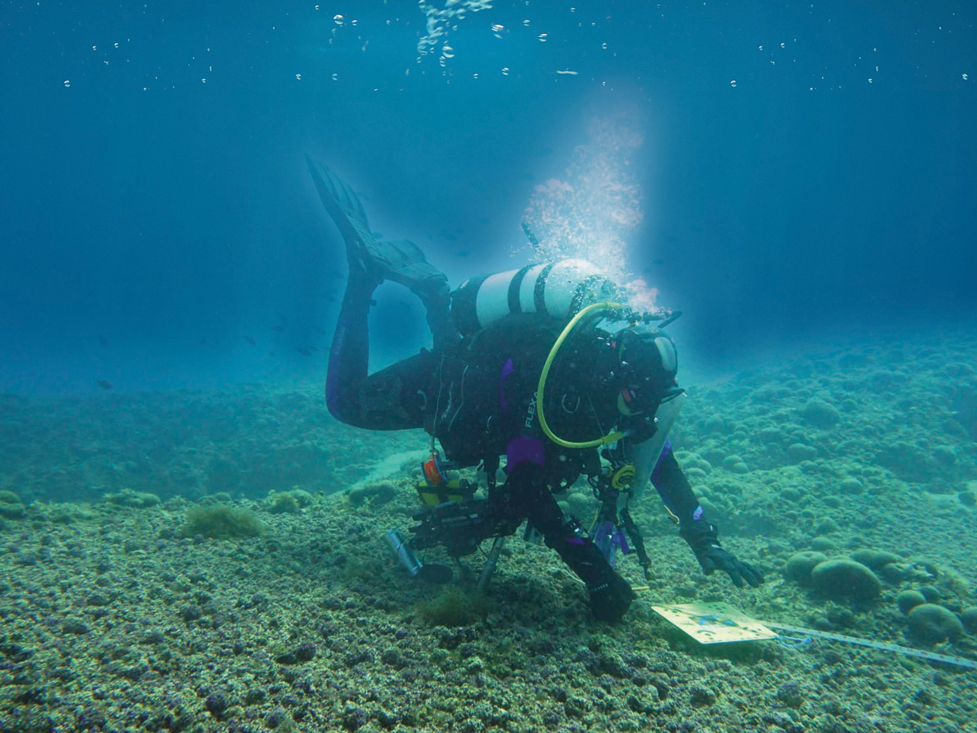
Scientific diving
In scientific diving, we combine diving skills with geodetic expertise. In difficult-to-access underwater environments, we use photogrammetry to capture precise 3D models of structures, habitats, or technical systems – non-contact and with high accuracy.
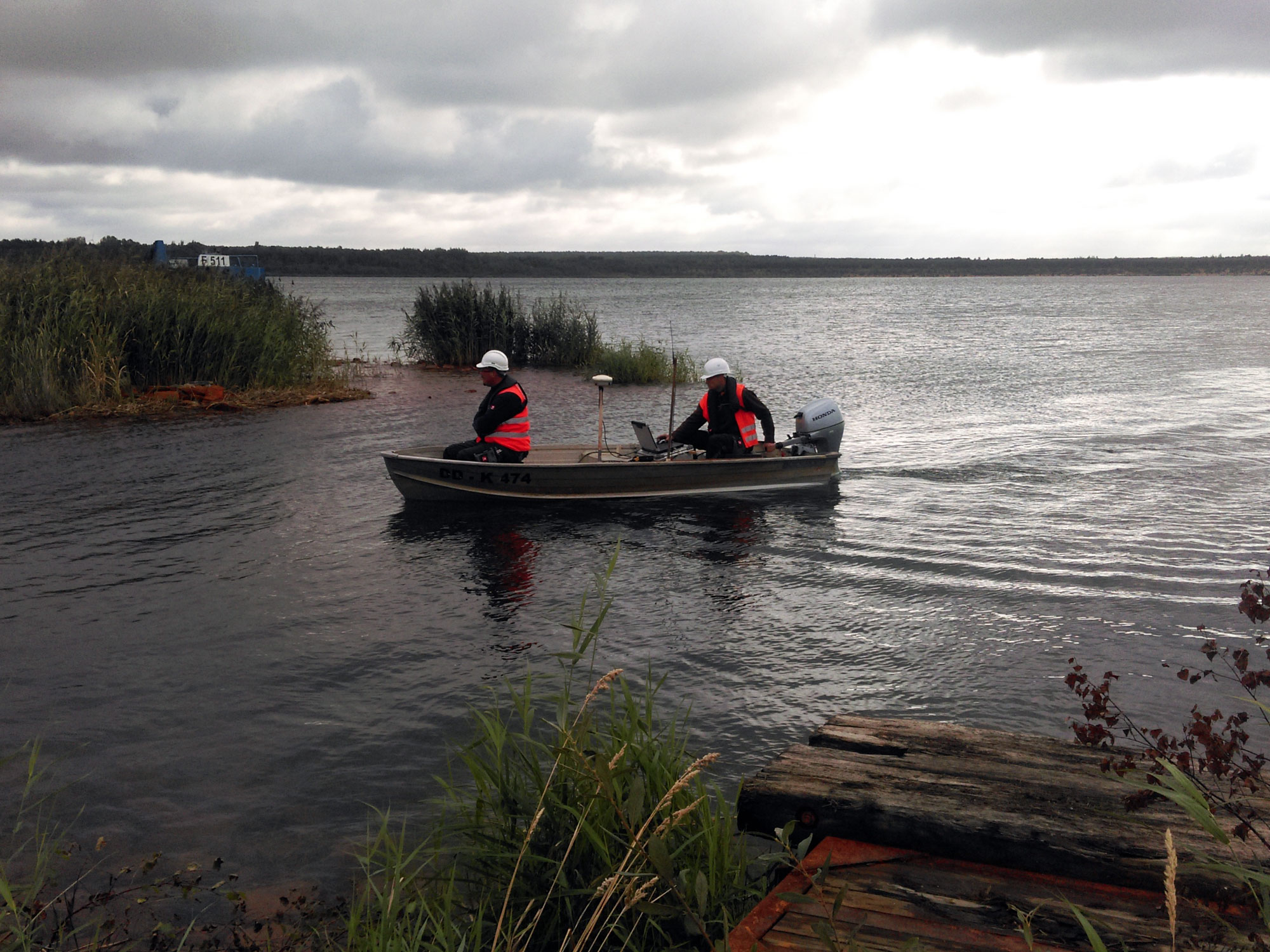
hrough the use of towed GPS buoys and special evaluation methods, we enable precise georeferencing even in deep and murky waters
Let’s talk.
…about your project idea, challenges or questions about geodata. We look forward to exchanging ideas with you!