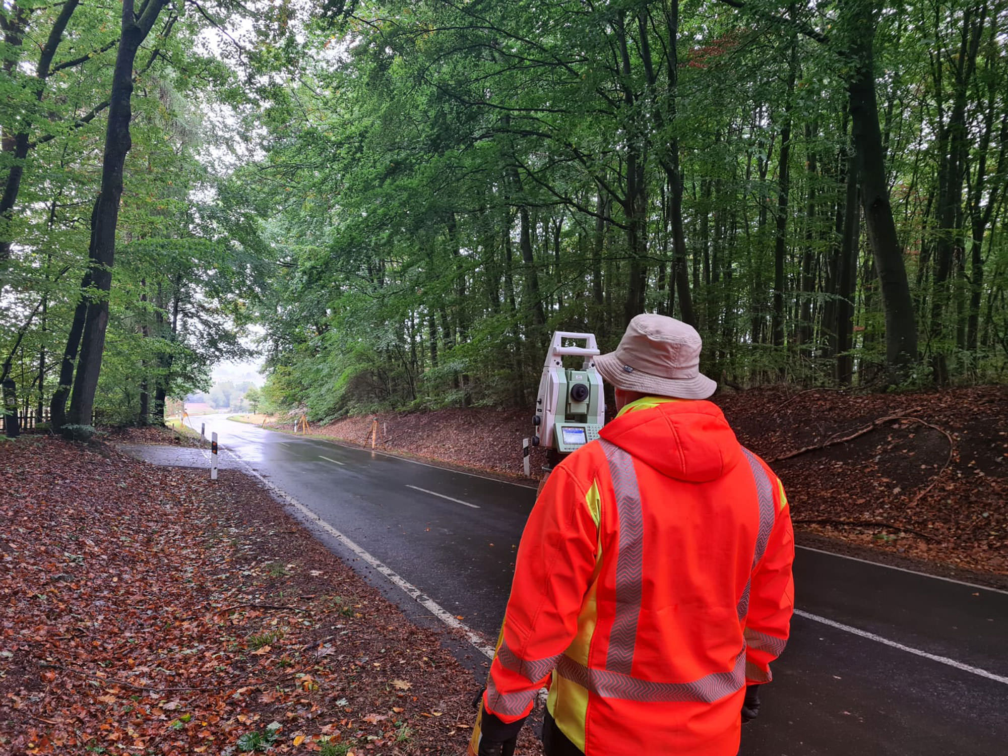
Surveying on land
Precision for planning and construction
Surveying on land forms the basis for safe, high-quality and plannable construction projects. With modern technologies and many years of experience, we deliver precise and reliable geodata – promptly, efficiently and precisely tailored to your requirements.
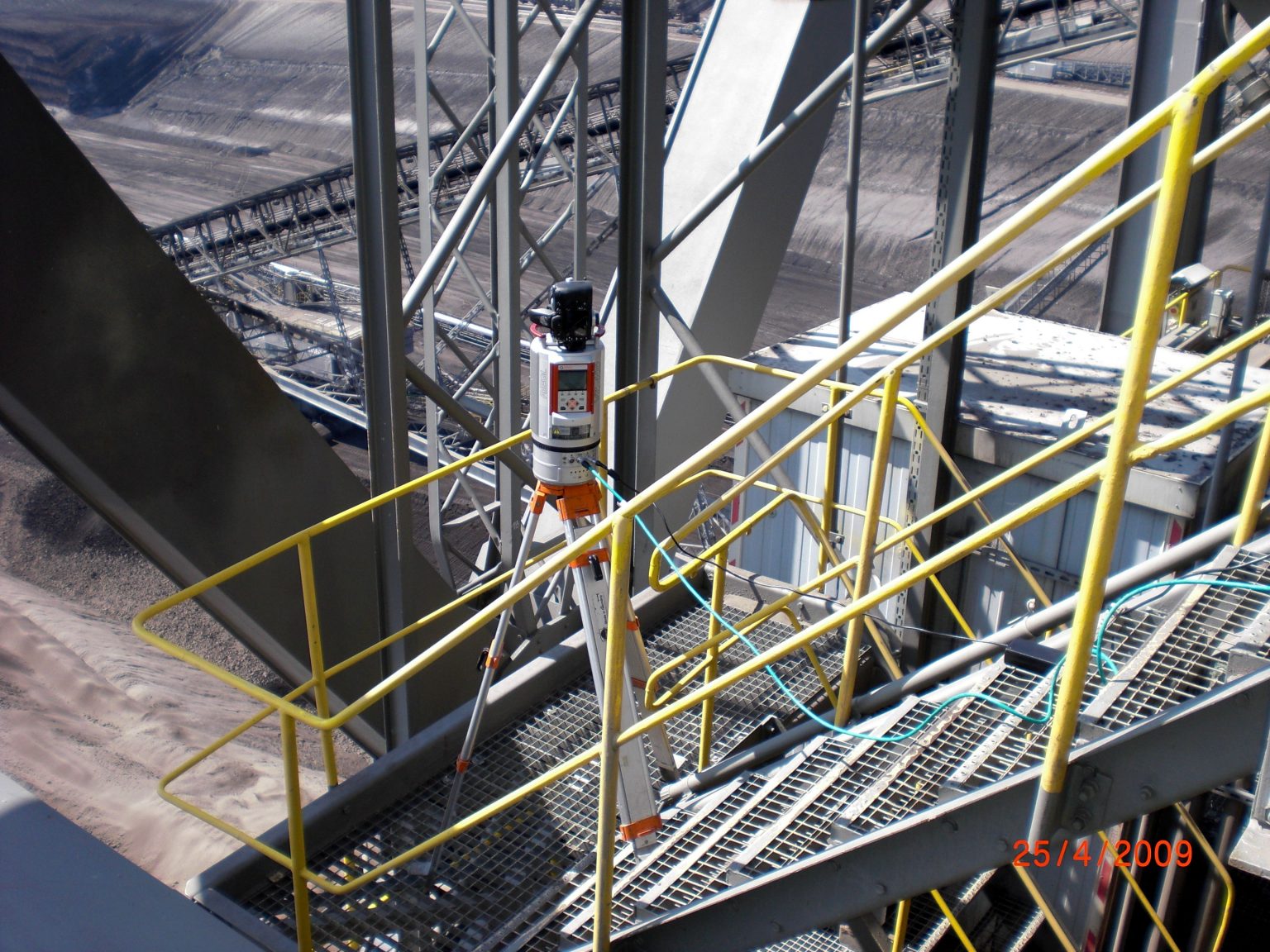
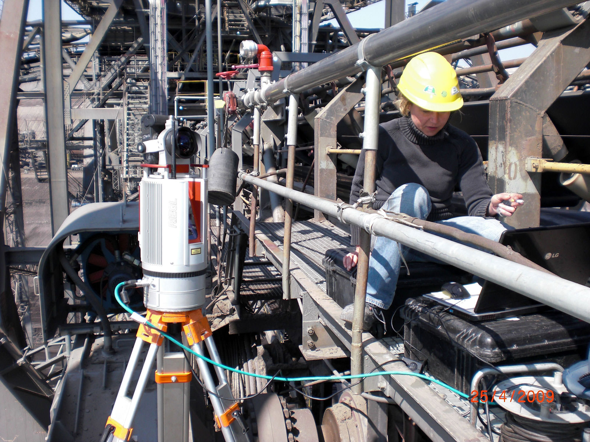
Terrestrial laser scanning
Terrestrial laser scanning is a state-of-the-art method for capturing 3D data in real time. With the help of a laser scanner, we record detailed point clouds of objects and terrain – be it existing buildings, infrastructure or complex landscapes.
Laser scanning is particularly efficient for measuring large areas in a short time and provides you with a high level of accuracy and detail.
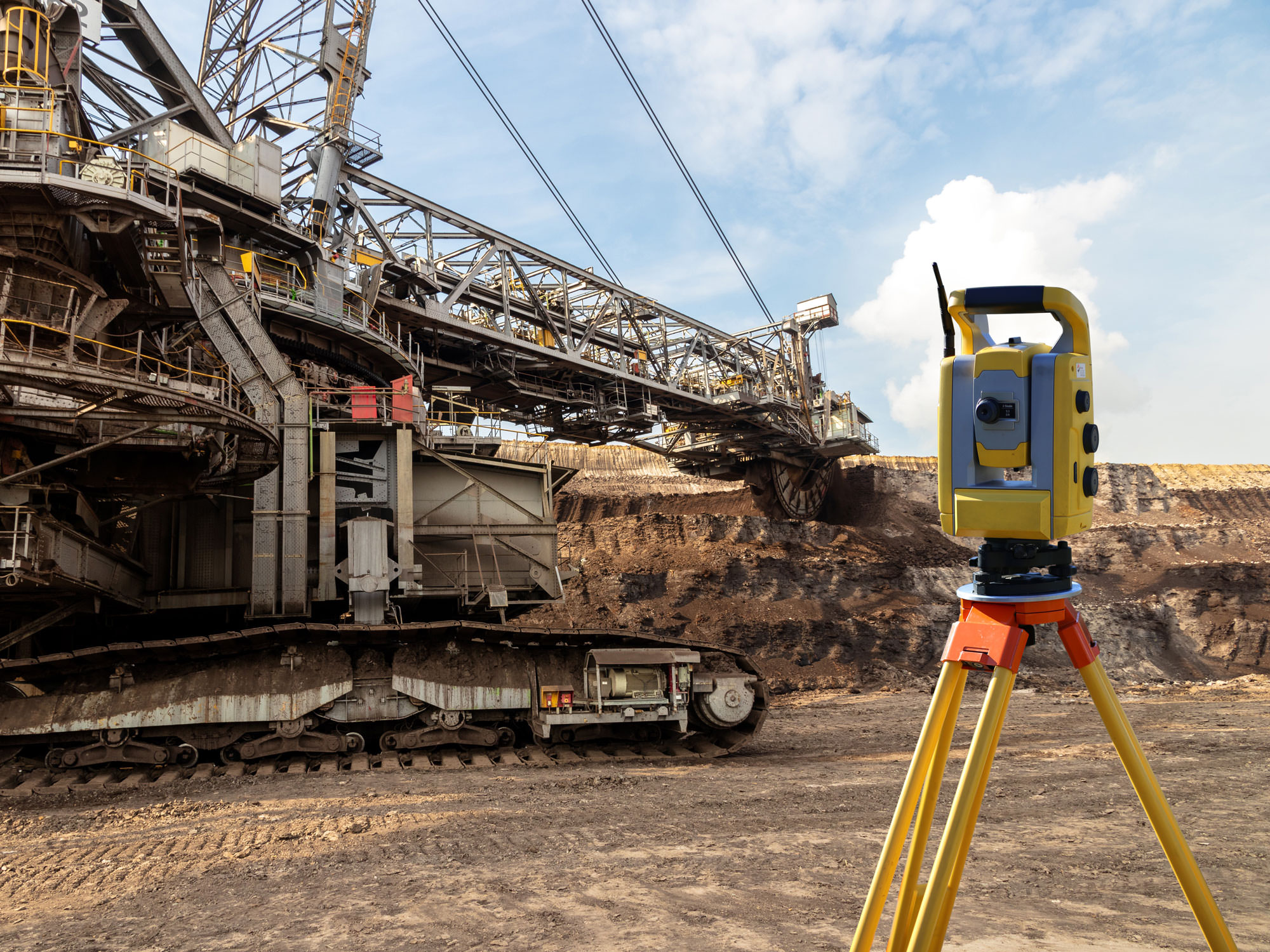
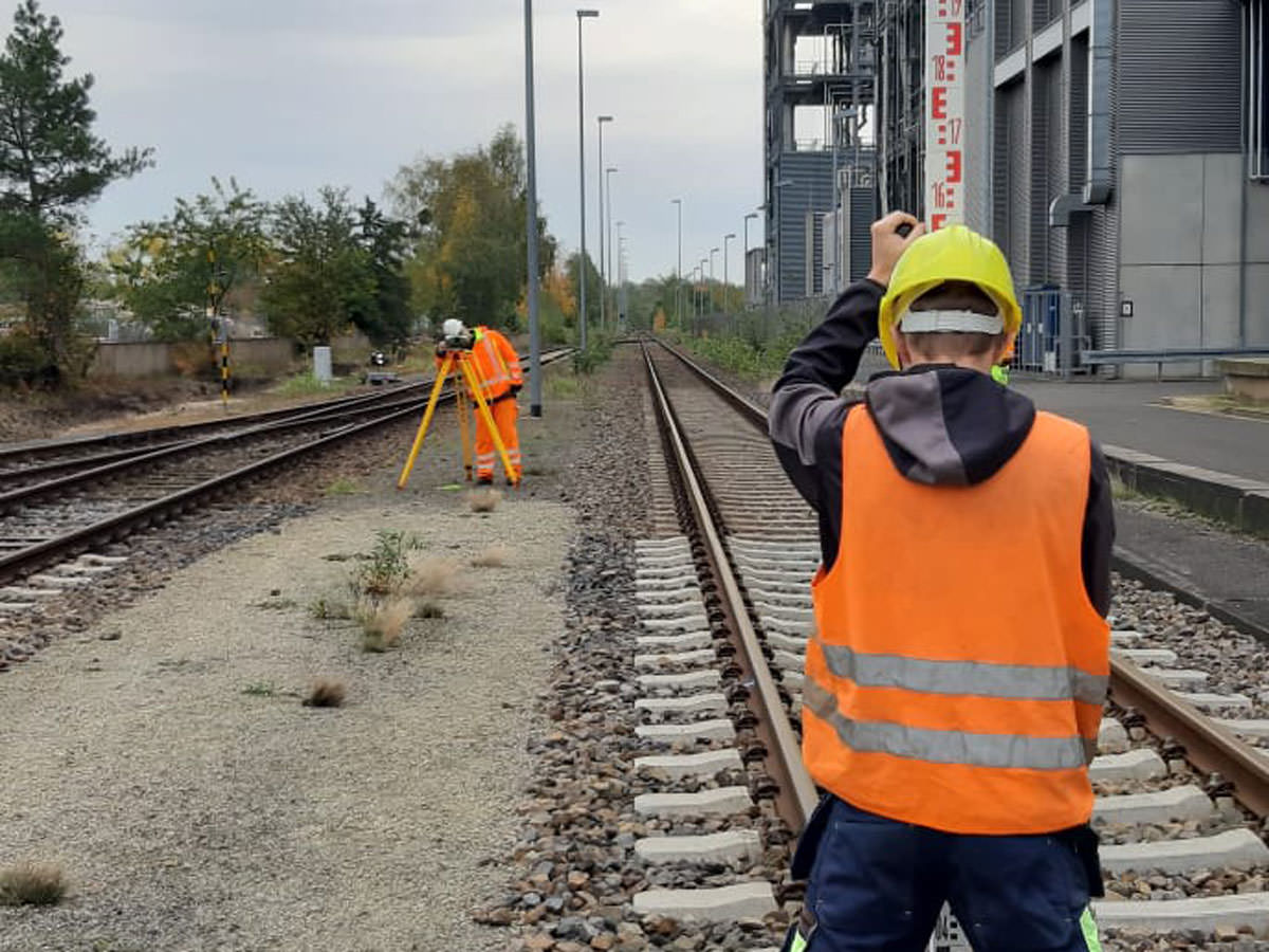
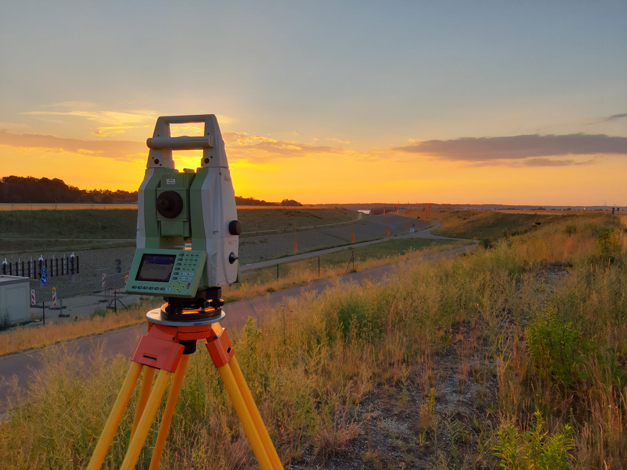
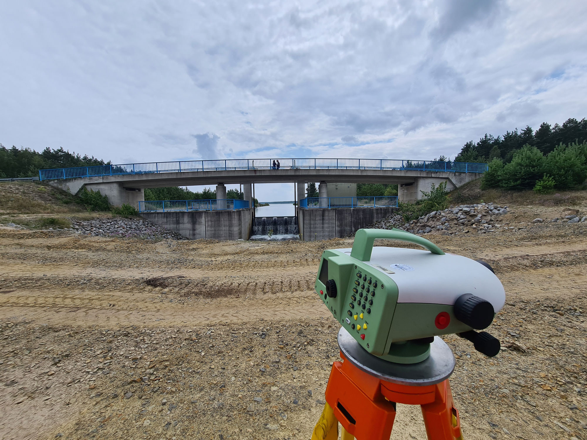
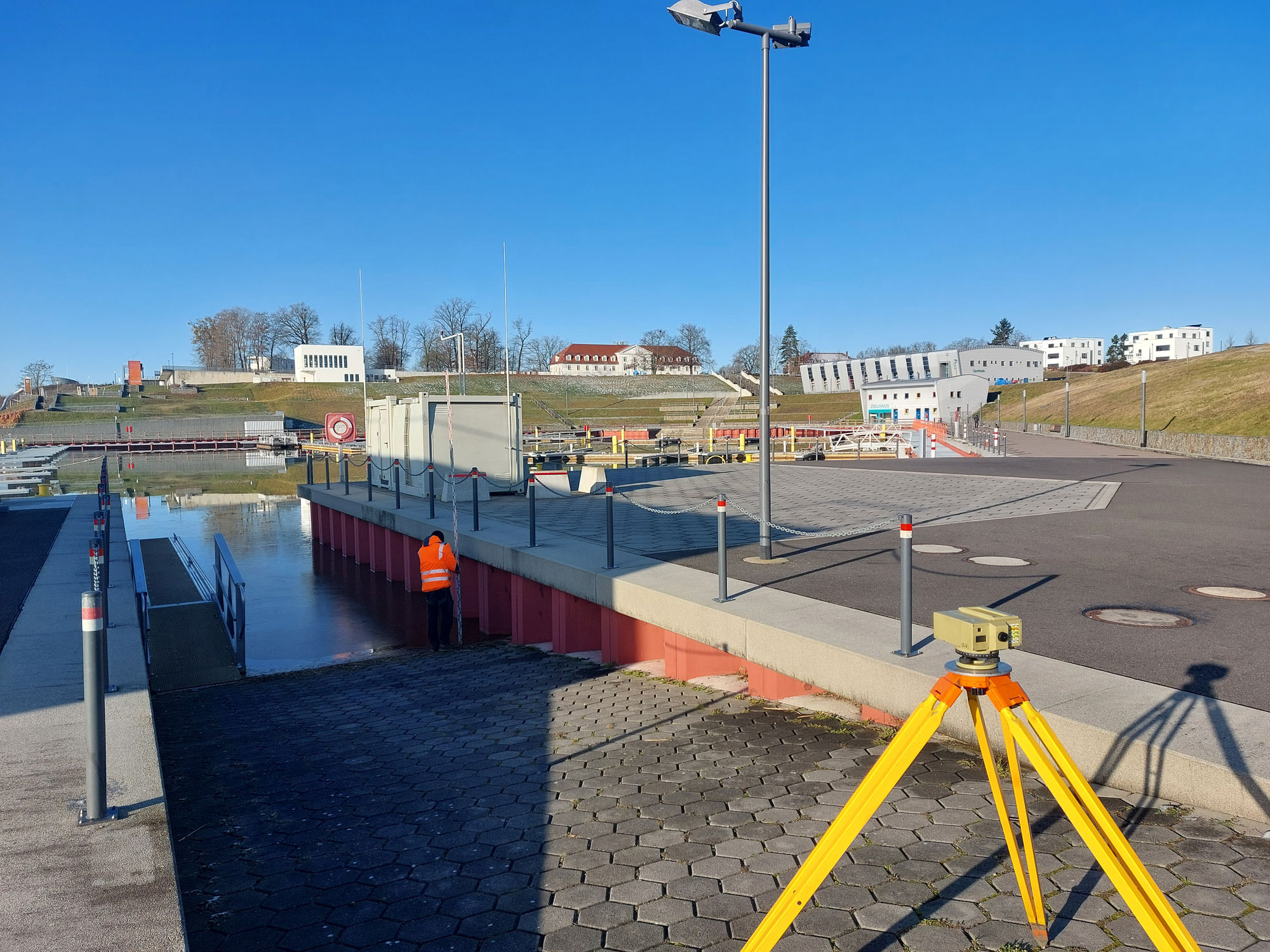
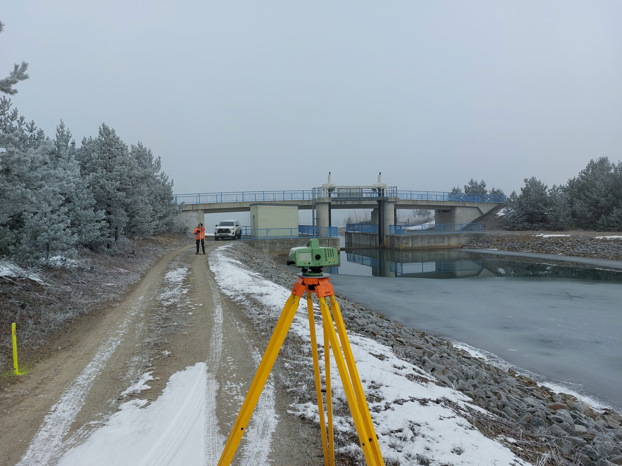
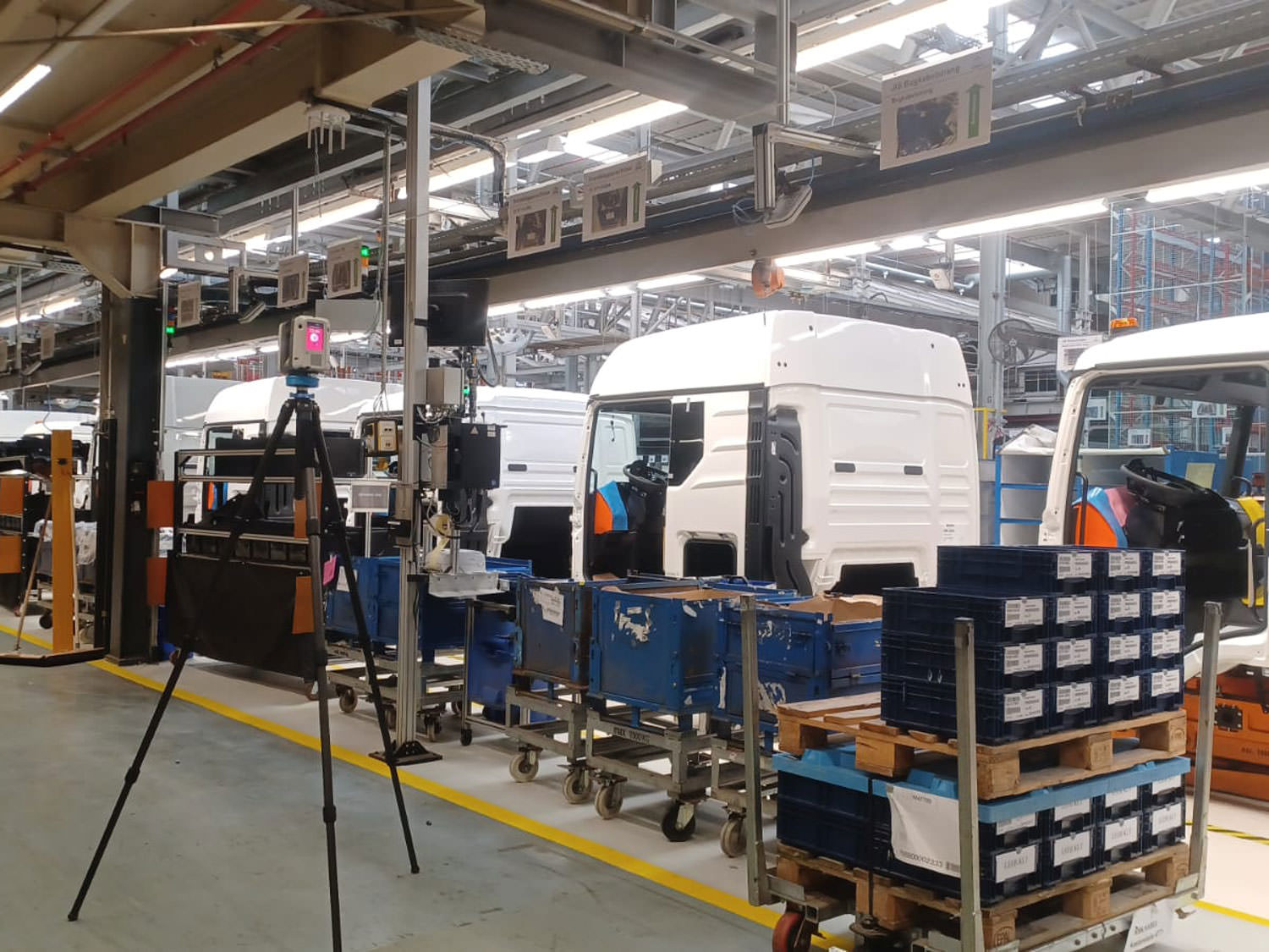
Engineering surveying
Engineering surveying is a central component in the planning, construction and monitoring of technical facilities and infrastructures.
Whether staking out structures, checking deformations or creating detailed as-built surveys – we deliver high-precision measurement data that guarantees safety and quality in every project phase. With state-of-the-art equipment and technical expertise, we accompany your projects from the first draft to the final implementation.
Mine surveying
Mine surveying is a specialized field of surveying that deals with the legally binding determination and demarcation of boundaries.
It comprises both the technical and legal recording and documentation of property boundaries and serves to ensure clear, comprehensible and recognized boundary relationships between neighbouring parcels of land.
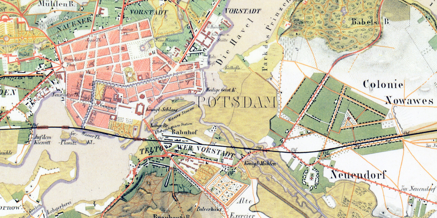
Cartography
The cartography includes the creation of the mining plans.
This includes all surveying representations (drawings, maps and plans) that are required for the planning, execution, as well as the technical, economic and safety monitoring of a mine (defined in the Mine Surveyor Ordinance with DIN 21901 ff – Mining Plan).
Let’s talk.
…about your project idea, challenges or questions about geodata. We look forward to exchanging ideas with you!